
Monitoring
Integrated monitoring for improved communication, connections and management
Explore
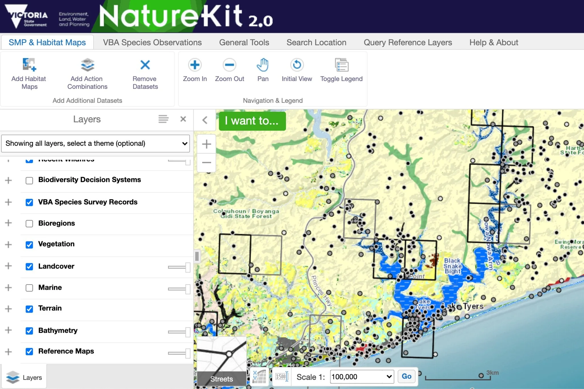
NatureKit is a free online mapping and data exploration tool for biodiversity and environmental data. Using the mapping tool, you can focus in on an area of interest and see what records already exist.
Observe
iNaturalist helps you identify and record your observations of the natural world and share these observations with scientists and other naturalists. Visit the Living Bung Yarnda iNaturalist project page to sign up and share your observations.
Monitor

Living Bung Yarnda provides support for regular monitoring of water quality, birds, vegetation, fish and deer impacts through registered groups. We also encourage the use of other citizen science Apps to explore aspects of the environment that interest you.

View summaries of monitoring results here