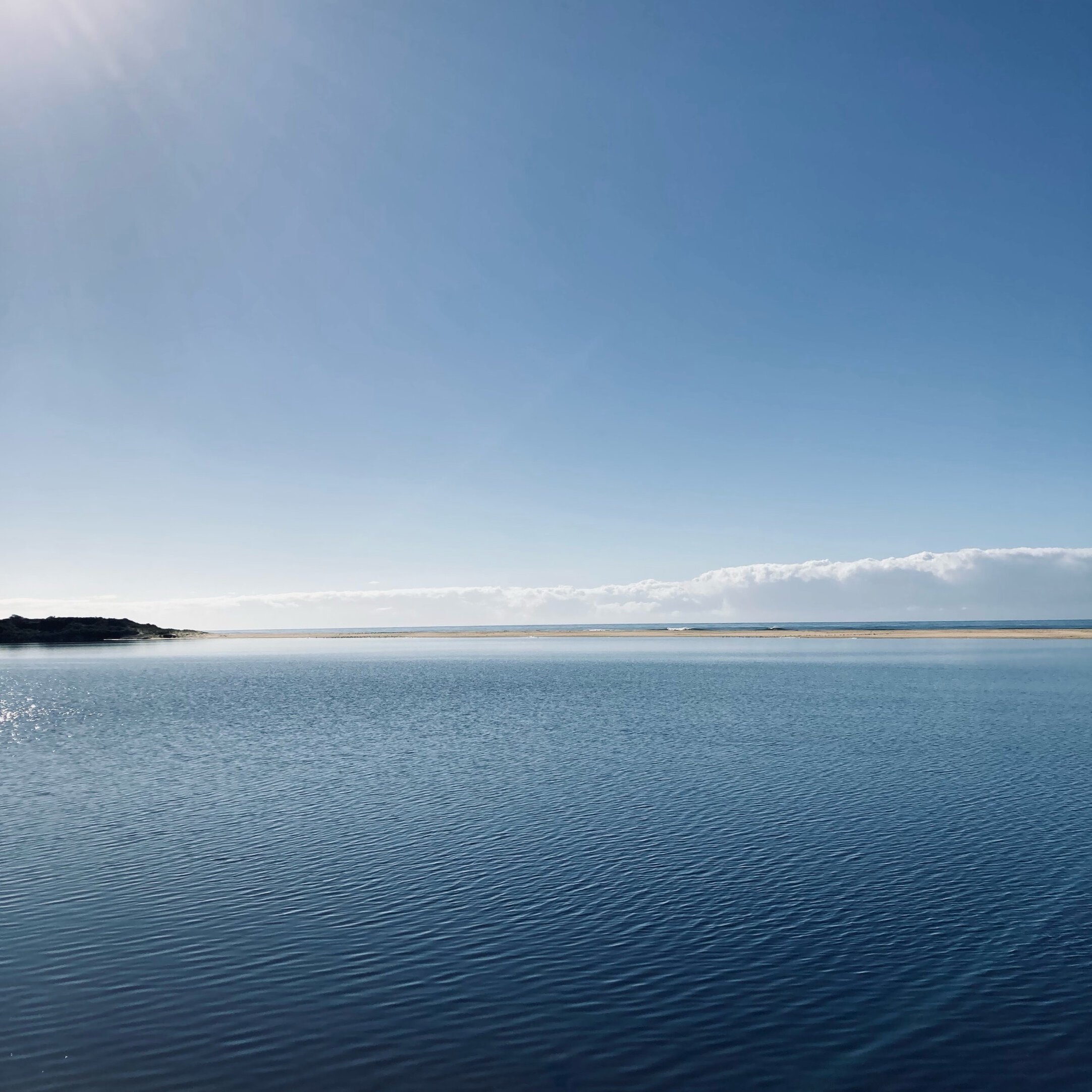
About Lake Tyers - Bung Yarnda
Lake Tyers — or Bung Yarnda, as it is known to the Traditional Owners — is a place of extraordinary natural and cultural richness. Tucked into the forested edge of East Gippsland, it forms part of the internationally significant Gippsland Lakes Ramsar wetlands. Here, warm temperate rainforest spills down into a sheltered estuary where rare species still find refuge: little terns skim the lake’s edge, limestone blue wattles bloom quietly in the understorey, and the elusive long-nosed potoroo forages beneath the trees.
This is a living place — shaped by tides, rainfall, and fire — and by the people who have called it home for thousands of years. Today, Lake Tyers supports a dynamic blend of communities: the Lake Tyers Aboriginal Trust, a vital part of the area’s cultural and historical identity; a long-standing timber and fishing heritage; and artists, ecologists, and locals united by their connection to the water, bush, and wildlife.
A fragile balance
Lake Tyers, while often perceived as pristine, is a fragile ecosystem facing numerous pressures. Upstream activities like logging, mining, farming, and development impact the lake through altered water flow and increased sediment. Reduced river inflows, exacerbated by drought and land use, lead to nutrient build-up, algal blooms, and oxygen depletion, harming aquatic life.
The natural opening and closing of the berm, the sandbar separating the lake from the ocean, is crucial for fish spawning, sediment flushing, and nutrient restoration. Artificial openings disrupt this vital rhythm. See below for more information.
Two major forces continue to reshape the catchment - invasive species and fire. Invasive deer impact the catchment by trampling vegetation and increasing sediment that washes down through the creeks and rivers. Fire, both planned and wild, also shapes the landscape, requiring careful management to balance biodiversity and community safety.
At the heart of Bung Yarnda lies a deeper story — one of survival, self-determination, and caring for Country. The Lake Tyers Aboriginal Trust holds significant cultural and historical importance, with growing recognition of Traditional Owner knowledge in land management and ecological restoration.
Lake Tyers State Park, jointly managed by Parks Victoria and the Gunaikurnai Land and Waters Aboriginal Corporation (GLaWAC), the park is a patchwork of rainforest, wetlands, and coastal bushland, plays a vital role in protecting the region's diverse habitats. The future of Lake Tyers depends on understanding its interconnectedness and listening to the land and its traditional custodians. It's a place where science and cultural knowledge converge, and its preservation is a shared responsibility.
Common ringtail possum (Pseudocheirus peregrinus) resting in a saw banksia (Banksia serrata)
Open and closed
Some estuary entrances periodically open and close to the ocean; these estuaries are termed Intermittently Open and/or Closed Estuaries. This includes Lake Tyers.
The Lake Tyers Estuary is subject to long closures due to its small catchment size relative to its surface area. The estuary has formed behind a long (approximately 800 m) sand barrier. Westerly waves and winds play a large role in driving sediment transport and building the sand barrier in front of Lake Tyers Estuary, disconnecting the estuary from Bass Strait. With its relatively small catchment, high rainfall and river flows are needed to trigger a natural opening and sustain an artificial opening at Lake Tyers.
An assessment of Lake Tyers Estuary’s opening and closure trends has shown the estuary is open 22% of the time, or 82 days per year on average (from 1987 to 2023). Due to the long periods of closure, the site is also more likely to be susceptible to water quality issues compared to other estuaries in East Gippsland.
Find out more


